Fire behavior: Minimal.
Active Wildfire · Archuleta County, CO
Swiss Roll Firenear Archuleta County, CO
Opens in the app — start as a guest, no account needed
From the ground
Latest photos from the fire
Photos are gathered from official agency and local social sources and shown with attribution. Always follow official evacuation orders.
Updates
Personnel updated to 47.
Personnel updated to 61. Fire behavior: Moderate.
COSJF Swiss Roll Fire: Last updated: 2026-09-12 --- The type of incident is Wildfire and involves the following unit(s) San Juan National Forest. --- State: Colorado --- Coordinates: Latitude: 37° 23 13 Longitude: 106° 47 1...
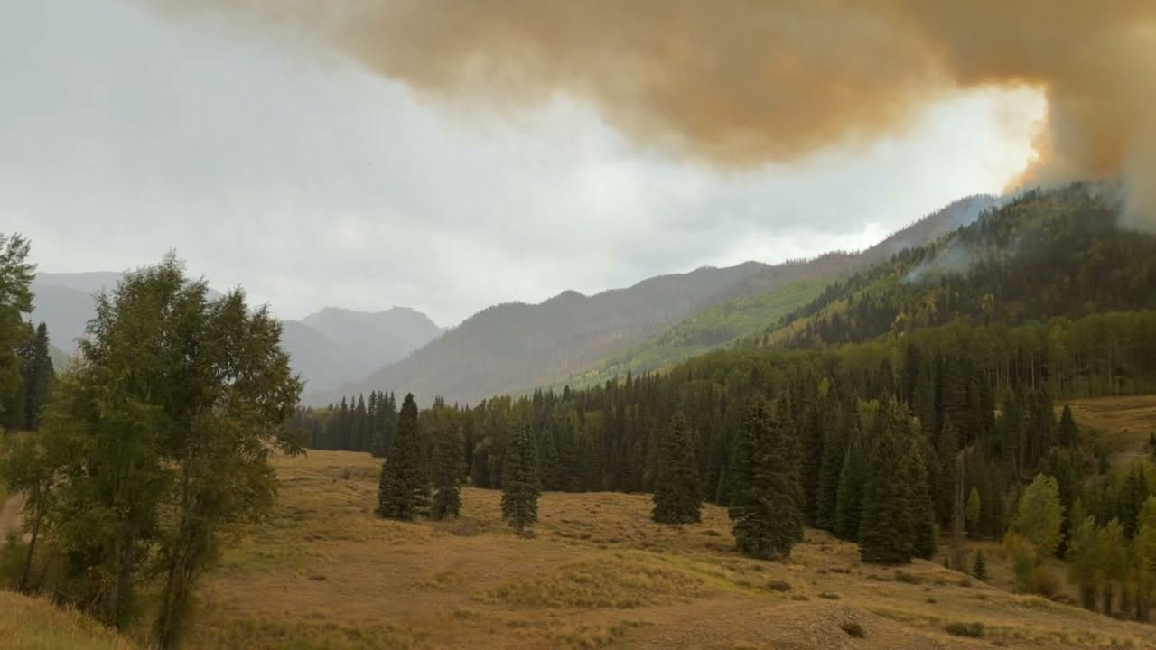
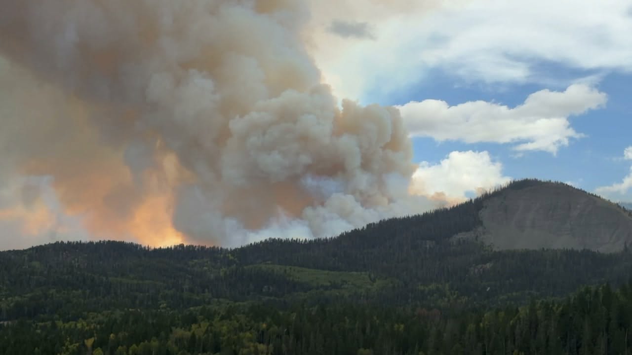
As of Sep 12, 2026, 6:30 PM MDT: The Swiss Roll Fire is burning in a remote area of the Pagosa Ranger District of the San Juan National Forest, approximately 20 miles northeast of Pagosa Springs, CO. Fire behavior increased during the afternoon due to outflow winds from passing thunderstorms but diminished once storms passed and temperatures dropped.
- The fire was started by lightning and was first discovered on August 20th (per Wildfire · news article).
- The fire is located east of U.S. Highway 160, south of East Fork Road (CR 667) near Quartz Meadow (per Wildfire · news article).
- The fire was mapped on September 12 at 369 acres, having primarily grown to the east from its origin (per Wildfire · news article).
- Fire managers estimate between 75 to 150 acres of new growth from today's activity; new maps will not be available until the next infrared flight scheduled for tomorrow (per Pagosa Fire Protection District · Facebook).
- The fire spread slightly north and began backing down hillsides to the east toward Quartz Meadows (per Pagosa Fire Protection District · Facebook).
- Firefighters have not engaged in direct suppression tactics due to the fire's remote location in stands of dead, beetle-killed timber (per Wildfire · news article).
- The fire has now progressed to a location more conducive for direct suppression in areas; the Elk Creek Wildland Fire Module is working with a helicopter to slow growth on the north and northeast sections as the fire moves down toward Quartz Creek (per Wildfire · news article).
- A helicopter dropped water on the east end of the fire to slow its progress toward Quartz Meadows (per Pagosa Fire Protection District · Facebook).
- Fire managers are ordering additional crews to support suppression operations (per Pagosa Fire Protection District · Facebook).
- Large Airtankers may be used tomorrow to delay the fire's progression until wet weather moves in this week (per Pagosa Fire Protection District · Facebook).
- Cooler weather is expected to move in Sunday evening along with increased chances of rain showers in the coming week, which will likely slow the fire's spread (per Wildfire · news article).
- The 2023 Quartz Ridge Fire burn area to the south is acting as a fire break to the Swiss Roll Fire (per Pagosa Fire Protection District · Facebook).
- There is one private inholding to the north of the fire (per Wildfire · news article).
- The Pagosa Ranger District is closing Quartz Meadow Road (NFSR 684), Quartz Creek Trail #571, and Quartz Ridge Trail #570 (per Pagosa Fire Protection District · Facebook).
- Quartz Ridge Trail #570 will be closed at the Quartz Ridge trailhead near the Silver Falls Guard Station; the western side from the Sand Creek trailhead will remain open for approximately 4 1/2 miles until it turns east (per Pagosa Fire Protection District · Facebook).
- An InciWeb page for the Swiss Roll Fire is available at https://inciweb.wildfire.gov/incident-information/cosjf-swiss-roll-fire (per Pagosa Fire Protection District · Facebook).
🤖 AI summary of official posts and linked news coverage; may lag or contain errors — verify with the source and official channels.
Containment reported: 0%. 34 personnel deployed. Fire behavior: Extreme.
First report.
Fire reactivated — source reports new activity. Previously archived (cleanup:stale_small).
Don't refresh this page. Let it find you.
- Evacuation alerts for your zone — pushed as soon as we see an order, not hours later.
- Live perimeter & growth — watch the fire move on the map as agencies update it.
- Draw a zone around home — or anywhere your people are — and get the lead time to act.
Free · iPhone & iPad · Official + local sources · Start as a guest, no account needed
Example alerts
Other active fires in Archuleta County
Data from official wildfire feeds and local agencies, refreshed regularly but not guaranteed real-time. Always follow official evacuation orders from local authorities.