Live Wildfire Tracker
Track wildfires burning across the U.S.
Live size, containment, and official agency updates for every active wildfire — plus real-time alerts if one starts near your home, ranch, or family.
Free · Official government updates · iOS 15+
- Active fires
- 251
- States affected
- 28
- Acres burning
- 1,861,200
- Largest fire
- 373,927 ac
Biggest active fires
by sizeWildfires by state
28 states have active wildfires right now. Pick yours to browse by county.
How it works
A live map of every wildfire — and a warning when one comes for yours
Real-time detection
We continuously ingest active-incident feeds so new fires show up here within minutes of being reported — not hours.
AI-surfaced official updates
Our AI watches government agencies and pulls their newest evacuation orders and size updates onto each fire's page the moment they post.
Alerts for your exact spot
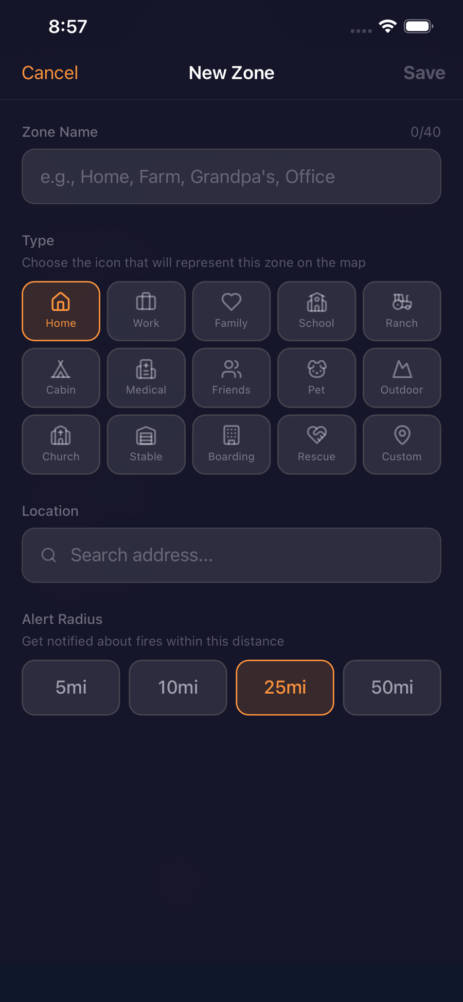
Create an alert zone around your home, ranch, or family — or follow a whole county or state — and get notified the instant a fire starts nearby.
See it in action
See every fire. Protect every place you love.
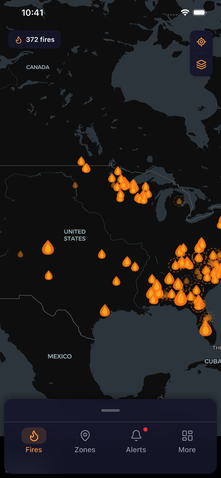
Watch what's burning right now, then create alert zones around your home, family, ranch, and animals — or follow entire counties and states. WildFireVantage warns you the moment fire moves toward any of them, with the lead time to act.
Premium
Watching more than one place? Go Premium.
Core safety alerts are free forever. Premium is for people protecting a whole life — from $2.99/mo or $29.99/yr.
- Watch 15 places, not 3Your home, your parents', the ranch, the animals — protect everywhere you love, not just one address.
- 21+ live map layersWildfire cameras, aircraft, satellite hot spots, smoke, and air quality — see exactly what a fire is doing.
- Offline mapsYour saved zones keep working when you're evacuating and the cell network drops out.
Frequently asked questions
How do I get alerts when a wildfire starts near me?
Download the free WildFireVantage app, create an alert zone around your home, ranch, or family — or follow a whole county or state — and you'll get a notification the moment a fire is detected nearby, no need to keep checking the map.
Where does WildFireVantage's wildfire data come from?
Directly from official sources — CAL FIRE, NIFC/WFIGS, and InciWeb for incidents and perimeters, NASA FIRMS satellites (MODIS & VIIRS) for early detection, NOAA/NWS for Red Flag Warnings, EPA AirNow for air quality, and FEMA for evacuation and shelter info. AI-written summaries help, but every number is grounded in these official feeds.
How often is the wildfire map updated?
Fire size, containment, and status refresh continuously, and new incidents typically appear within minutes of being reported. Each page shows when its data was last updated.
Is WildFireVantage free?
Yes — tracking wildfires and setting up alert zones is free. Premium ($2.99/month or $29.99/year) adds extra zones and advanced features, but core safety alerts are free forever.
Which states does WildFireVantage cover?
Every U.S. state. We list state and county hubs for anywhere with active wildfires, and you can set an alert zone anywhere in the country.
Never get caught off guard by a wildfire again
Create an alert zone around what matters — or follow your county or state — and WildFireVantage alerts you the moment a fire starts nearby, with the lead time to act.